CoffeeMap.dev
HomeAboutExpertiseContactالعربية
Back to Home

Enterprise GIS

Scalable geospatial infrastructure solutions powered by ArcGIS and PostGIS for mission-critical operations.
ArcGIS
ArcGIS Online
ArcGIS Dashboards
QGIS
PostGIS
PowerBI

Projects

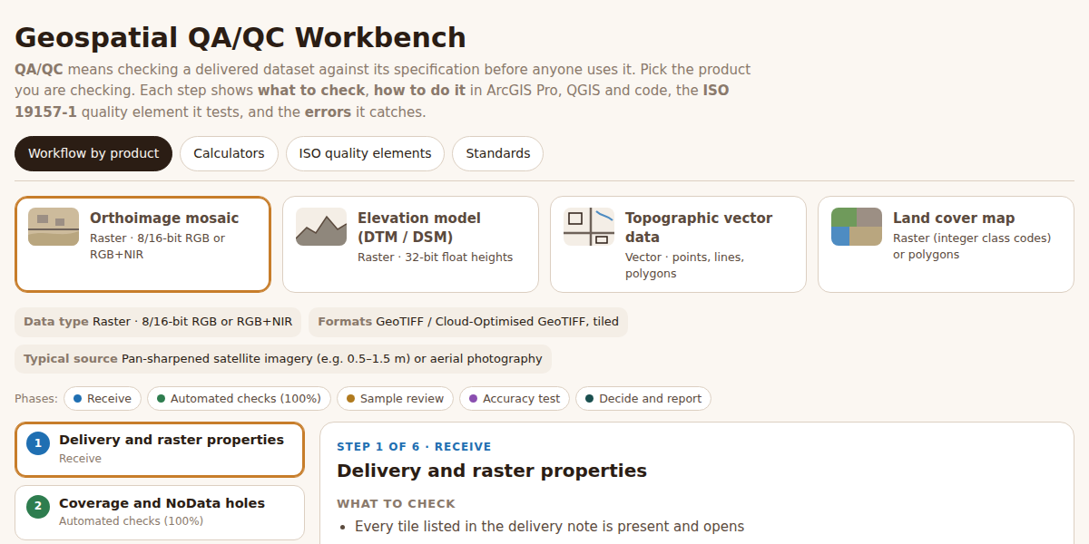
Geospatial QA/QC Workbench
Interactive Workflow
Geospatial QA/QC Workbench

Interactive QA/QC workflows for orthoimagery, elevation models, topographic vectors and land cover — what to check, how in ArcGIS Pro, QGIS and code, the ISO 19157-1 element behind each step, plus sampling, accuracy and confusion-matrix calculators.

ISO 19157-1
ISO 2859-1
ArcGIS Pro
QGIS
PostGIS
GDAL
Python
Data Quality
Knowledge Management
View Demo

Insights

Enterprise GIS
28 Sept 2026
A Practical QA/QC Workbench for Geospatial Data

What to check, how to check it in ArcGIS Pro, QGIS and code, and which ISO 19157-1 element it tests, for orthoimagery, elevation models, vector data and land cover.

Read More →
CoffeeMap.dev

Brewing Data into Actionable Geospatial Insights

Created by Amin Adnan Gasim

© 2026 CoffeeMap.dev. All rights reserved.